
Natural Gas Pipeline Corrosion Mapping
Scenario record: it defines the environment, the mission flow and a proposed hardware and software configuration. The list below is a configuration proposal, not an installation inventory. Field projects lists deployed systems and their measurements.
- Environment
- Outdoor field
- Operating mode
- Supervised autonomy
- Proposed robot
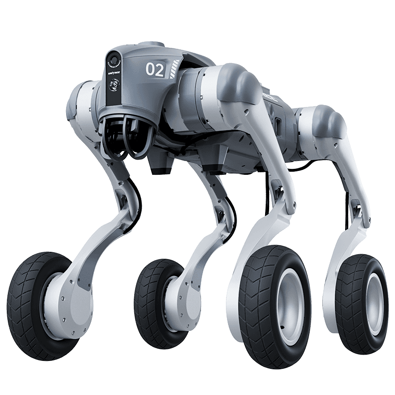
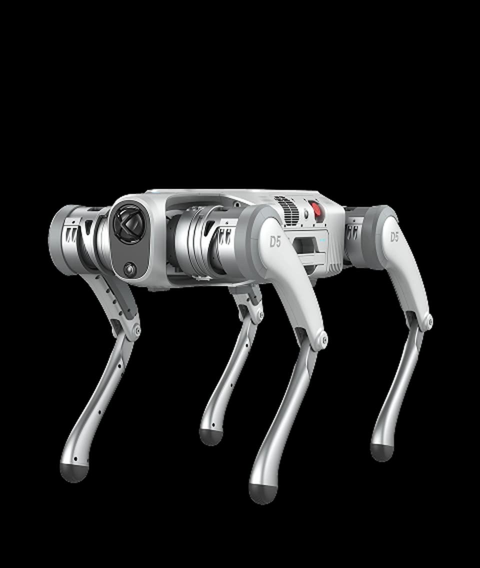
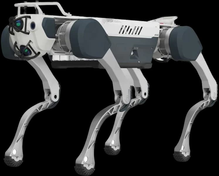
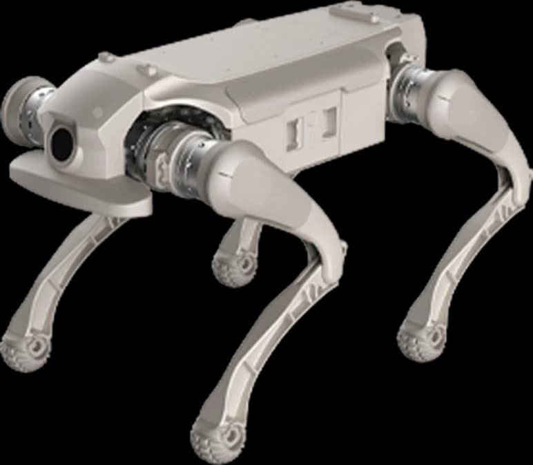
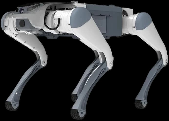
- Unitree B2-W
The problem addressed
The cost of human inspection of kilometer-long lines and the risks of leakage.
Draft mission flow
- 1Continuously follows a 25 km route in wheeled mode along pipelines.
- 2Lidar and spectral camera calculate coating spills on the pipe surface in 3D.
- 3If corrosion level limits are exceeded, a GPS pin is sent to maintenance teams.
Proposed hardware
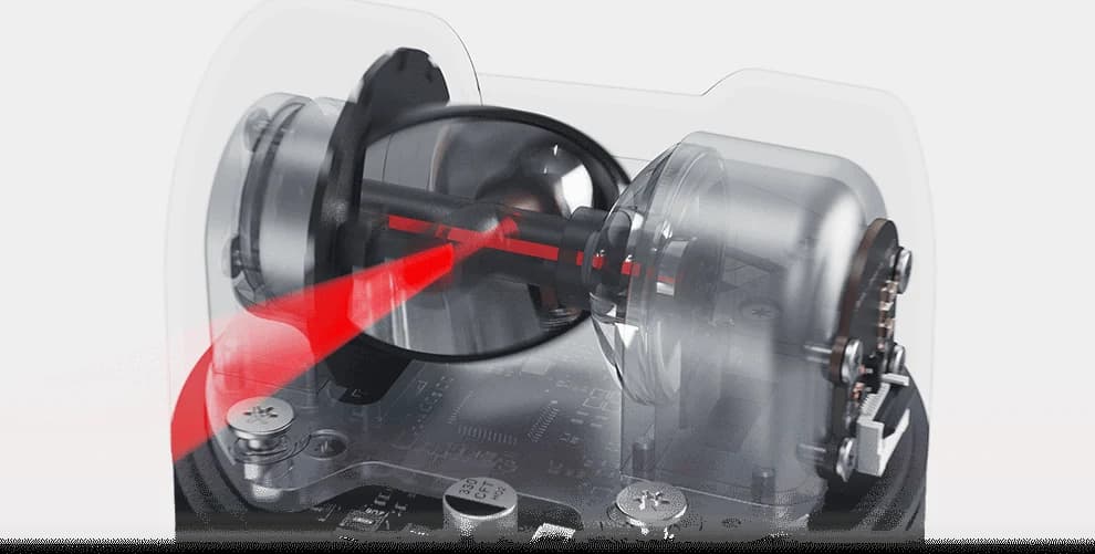
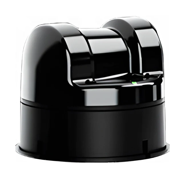
- Lidar L2 Surface Scanner
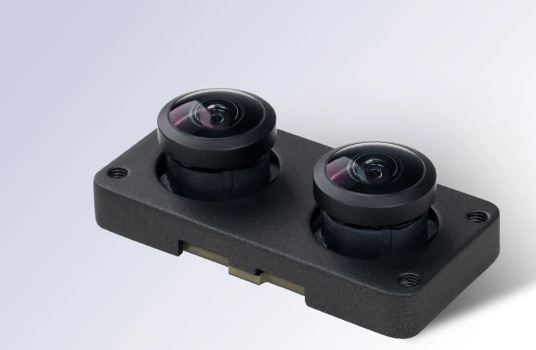
- Spectral Camera
- Long Range Battery (15000mAh)
Proposed software
- Navigation
- Wheeled high-speed patrol parallel to the pipeline
- Model
- Corrosion Intensity and Rust Segmentation
- Integration
- Energy Infrastructure GIS Systems
The robot's real operating limits
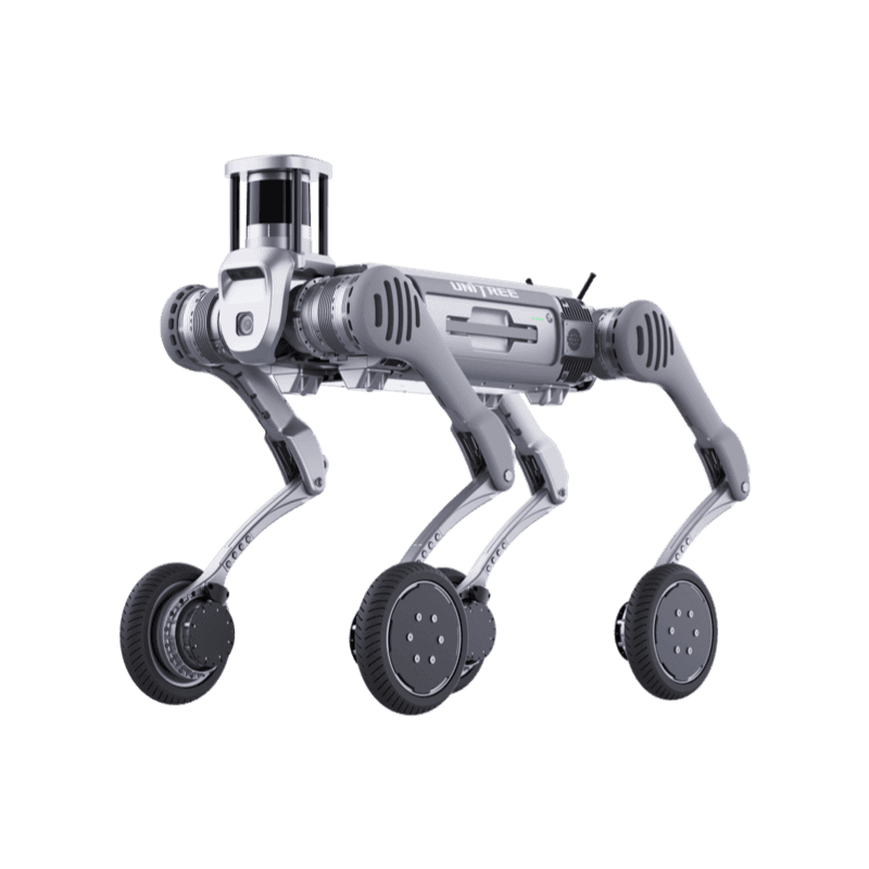
Unitree B2-W
Superior Endurance, High Logistics Efficiency
Product page- Ingress rating
- IP67
- Operating temperature
- -20°C to 55°C
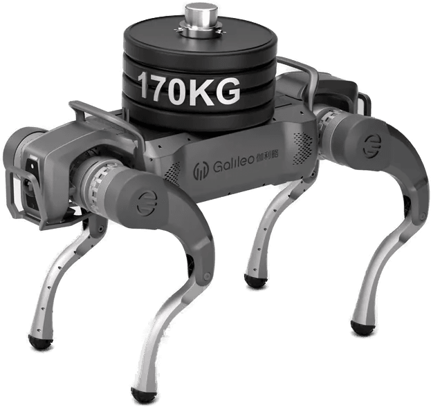
- Payload
- 120 kg
- Max speed
- 15
- Climb
- 45°
- Weight
- 85 kg
Values are manufacturer data. Scenario fit is determined by comparing these limits with site conditions.
From scenario to installation
Feasibility is determined by the site survey: floor and route, network coverage, the charging point, intervention responsibilities and the conditions under which the robot must stop. The survey report defines the scope, the constraints and the commissioning steps.