Operational
Mechanism.
Technical details of field integration, data flow, and autonomous decision algorithms.
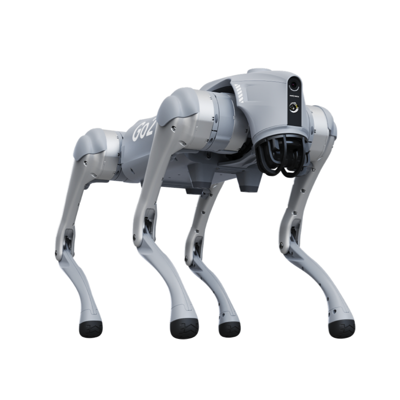
Edge Hardware
3D LiDAR
HD RGB Camera
RTK-GPS
NVIDIA Jetson Orin NX
Artificial Intelligence
Navigation (SLAM)
Terrain-adaptive autonomous navigation between afforestation area rows
Perception & Analysis
Sapling Height/Trunk Diameter 3D Measurement and Growth Rate Trend Analysis
Autonomous Workflow
The robot walks autonomously between sapling rows in the afforestation area; measures each sapling's height and trunk diameter with centimeter precision via LiDAR.
Growth rate curves generated from periodic measurements; saplings growing slower than expected flagged as stress risk.
Leaf health and disease symptoms evaluated with RGB camera; drying or decaying saplings reported.
Site report transmitted to forestry information system; biomass data provided to carbon credit calculation platform.
Operational ROI.
Strategic Decision.
EXPECTED BALANCE IMPACT
Annual $32,000 forestry efficiency and carbon credit gain. ROI: 1.6x | Payback: 2.8 Years.
Reduces sapling mortality rate by 45% with early intervention; increases afforestation success rate.
Review Your Custom
Autonomous Operation
Plan On-Site.
Our engineers are ready to present this robotic integration plan, specially simulated for your facility, to your team. Let's confidently launch your business's digital transformation.