

Telecom Base Station Tower Structural Sway Monitoring
Scenario record: it defines the environment, the mission flow and a proposed hardware and software configuration. The list below is a configuration proposal, not an installation inventory. Field projects lists deployed systems and their measurements.
- Environment
- Outdoor field
- Operating mode
- Supervised autonomy
- Proposed robot
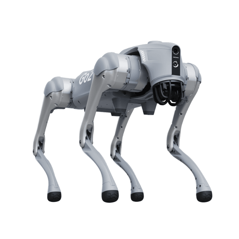
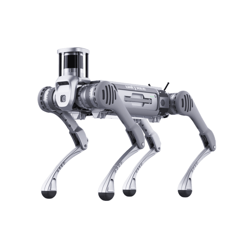
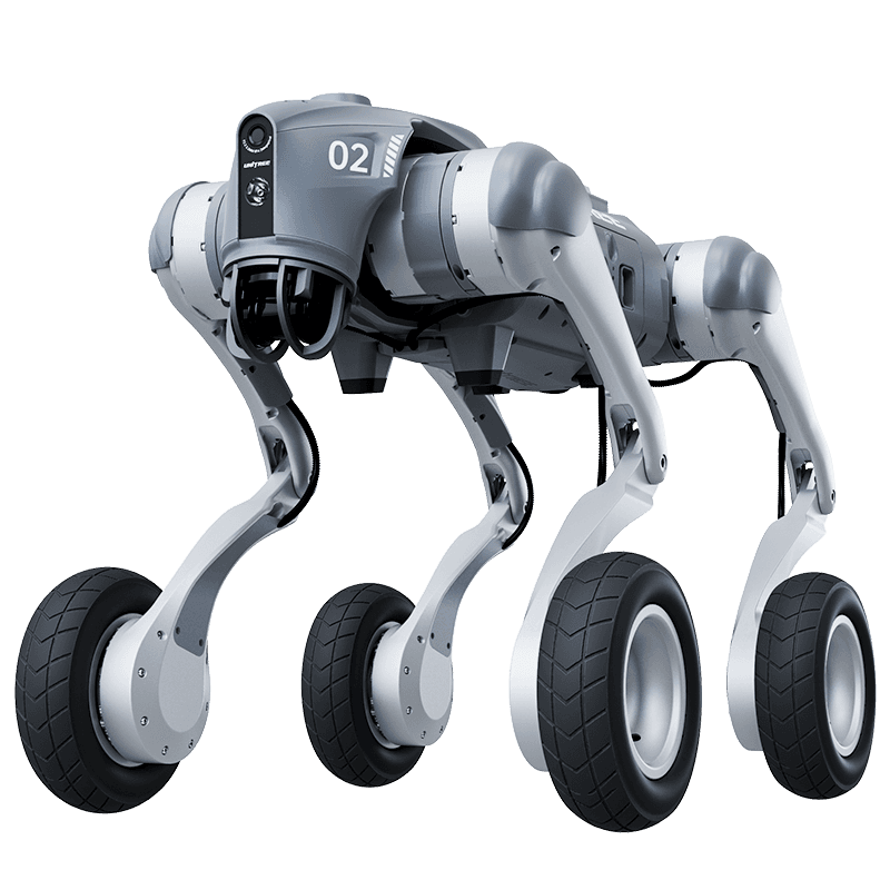
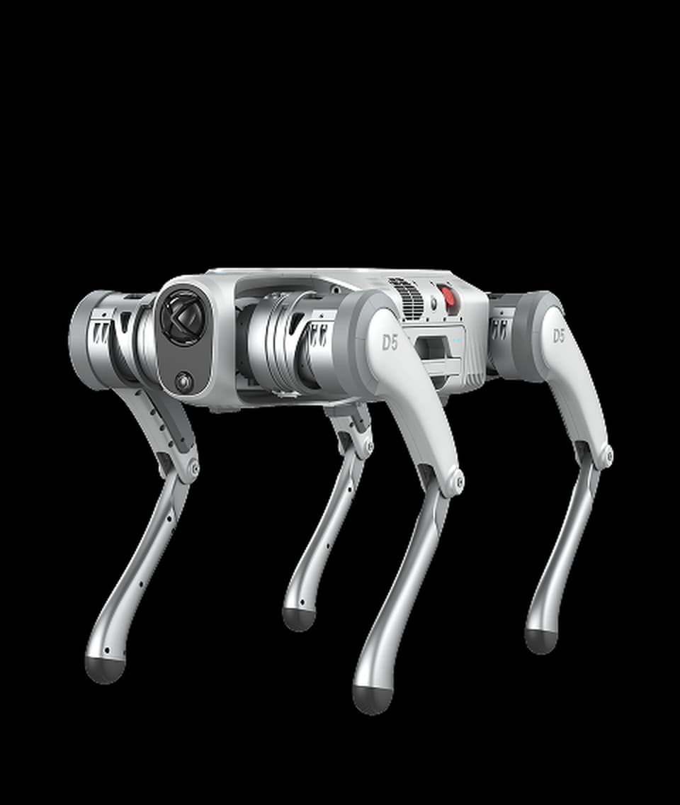
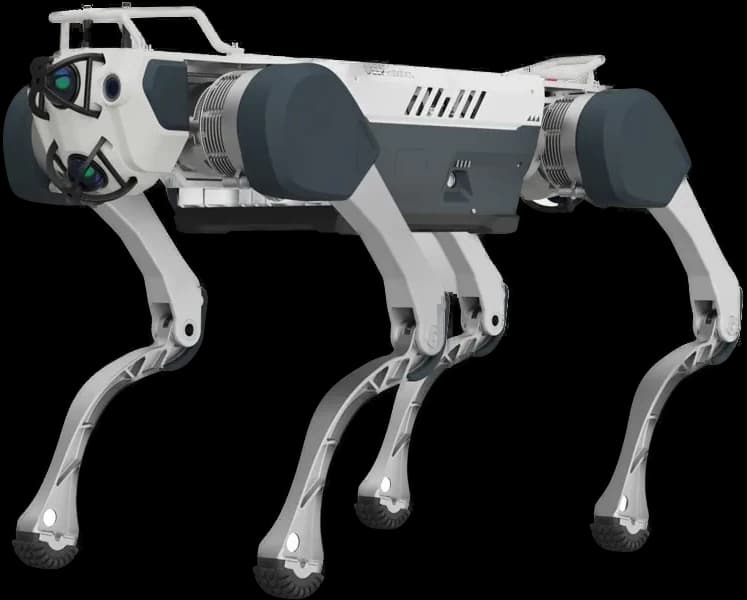
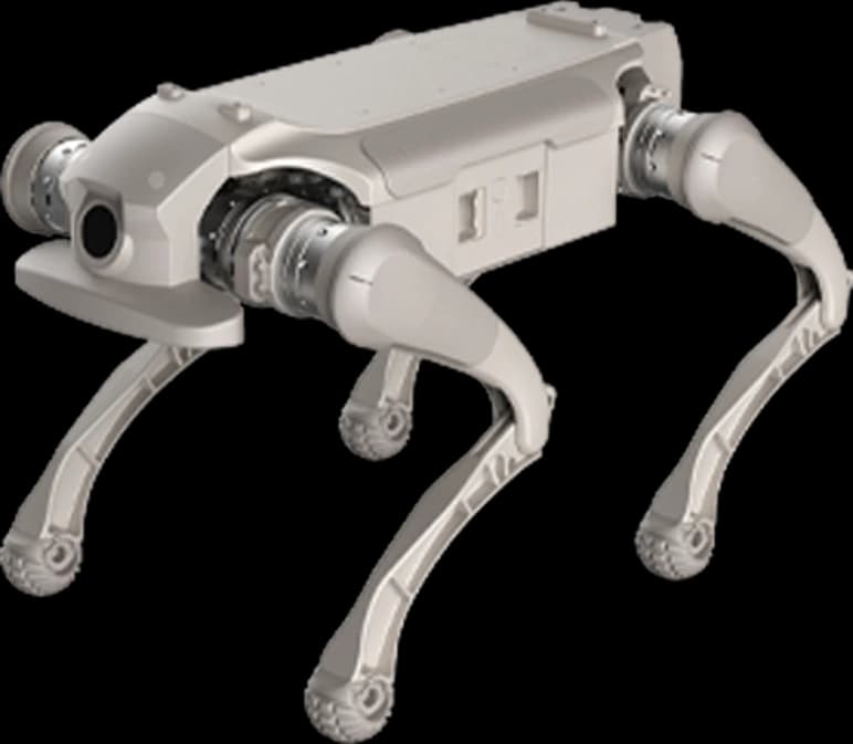
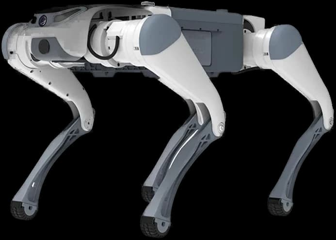
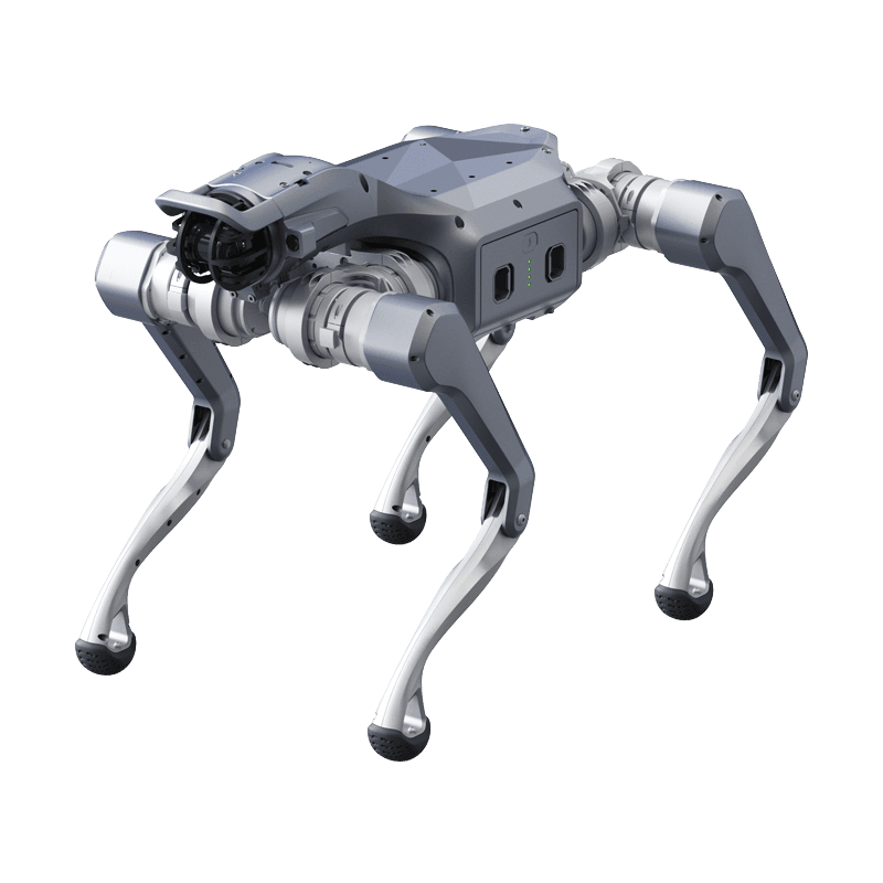
- Unitree A2
The problem addressed
Maintenance crews unable to find helicopters to reach mountain sites after storms, leaving GSM coverage down for days.
Draft mission flow
- 1Fırtına sonrası dağlık arazide yolu kapanan baz istasyonunun ayağına tırmanır.
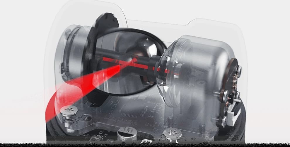
- 2Kule diplerini Lidar ile milim milim tarayarak toprağın kayıp kaymadığını hesaplar.
- 3Kuledeki salınımları titreşim sensörüyle ölçer ve antenlerin (RF) eğim sapmasını (Tilt error) merkeze bildirir.
Proposed hardware
- Jeofon Titreşim Algılayıcı
- Rüzgar Şiddeti Profilometresi
- Lidar L2 Yeryüzü Taraması
Proposed software
- Navigation
- Ulaşılamayan dağ başlarındaki röle veya GSM kulelerine otonom Off-Road intikali
- Model
- Kule Ankraj Cıvataları Statik Gevşeme Simülasyonu
- Integration
- GSM Şebeke Analiz Platformu
The robot's real operating limits
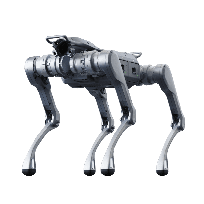
Unitree A2
Industrial Class Legged Robot
Product page- Ingress rating
- IP56-IP67
- Runtime
- >5 hours (No load) / >3 hours (25kg Load)
- Operating temperature
- -20°C to 55°C
- Payload
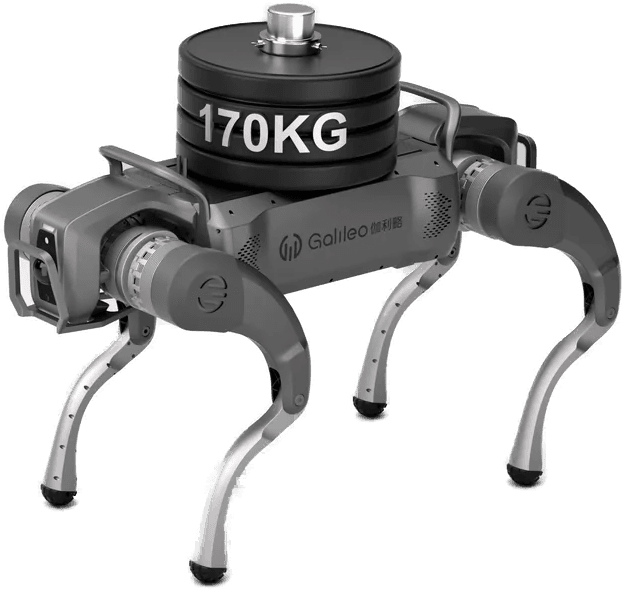
- 100 kg
- Max speed
- 5 m/s
- Climb
- 45°
Values are manufacturer data. Scenario fit is determined by comparing these limits with site conditions.
From scenario to installation
Feasibility is determined by the site survey: floor and route, network coverage, the charging point, intervention responsibilities and the conditions under which the robot must stop. The survey report defines the scope, the constraints and the commissioning steps.