
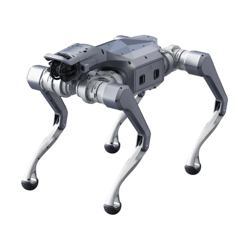
Concept scenario
Underground Mine Gallery Autonomous Mapping and Methane Gas Analysis
Scenario record: it defines the environment, the mission flow and a proposed hardware and software configuration. The list below is a configuration proposal, not an installation inventory. Field projects lists deployed systems and their measurements.
- Environment
- Outdoor field
- Operating mode
- Teleoperation
- Proposed robot
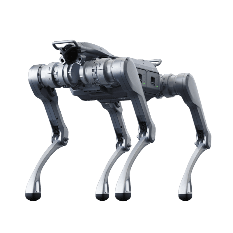
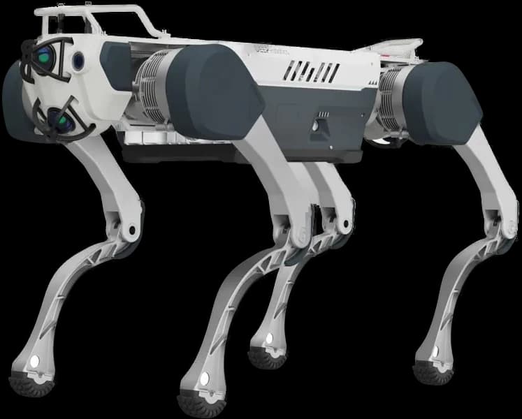
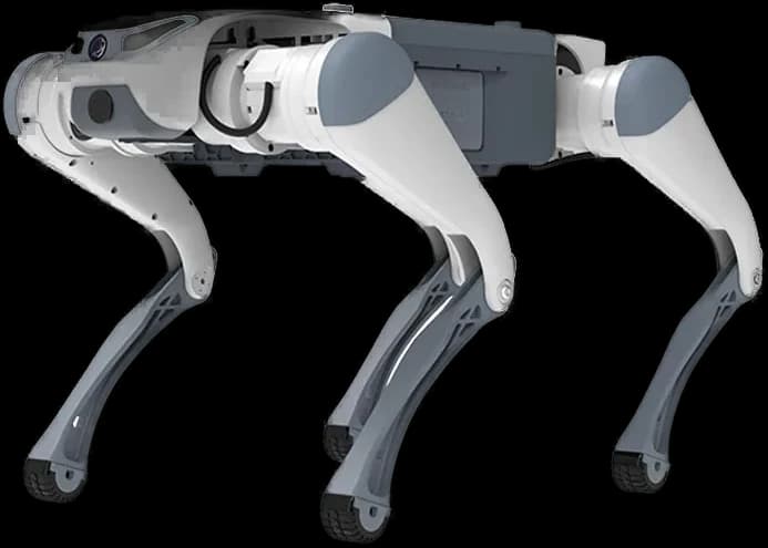
- Unitree B2
The problem addressed
Manual controls endangering human life in high-risk underground galleries.
Draft mission flow
- 1Leaves the main gallery and autonomously enters unexplored side tunnels.
- 2Simultaneously measures gas levels while scanning structural cracks and collapses on tunnel walls with 3D LiDAR.
- 3Gives a siren evacuation warning when gas limit is exceeded and updates the digital 3D mine map.
Proposed hardware
- 3D LiDAR (120m Range)
- Multi Gas Sensor (CH4, CO, O2)
- Explosion Proof (Ex-Proof) Case Modification
Proposed software
- Navigation
- LiDAR based 3D-SLAM and autonomous tunnel exploration in GPS-denied environments
- Model
- Gas Concentration Heat Mapping Algorithm
- Integration
- Mine Surface Operation Center (MOC)
The robot's real operating limits
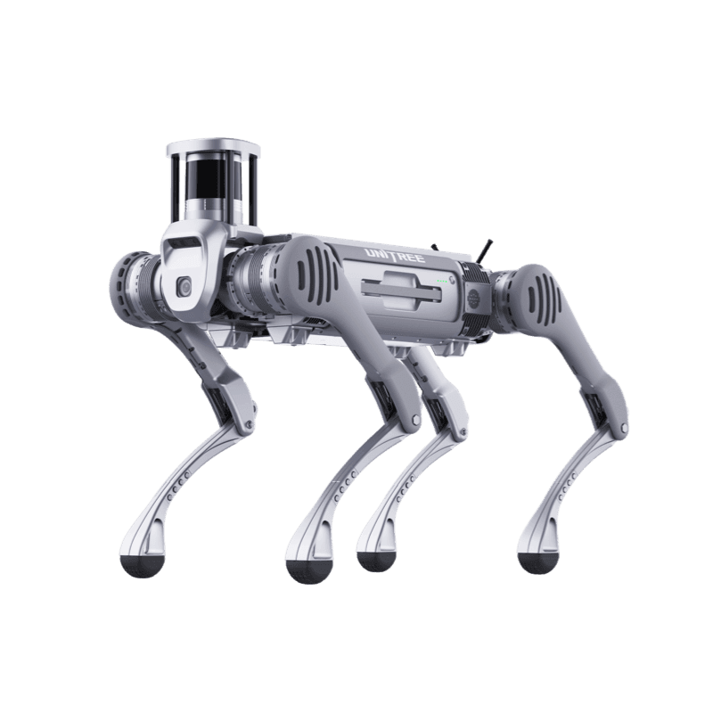
Unitree B2
Leading Industrial Application
Product page- Ingress rating
- IP67
- Runtime
- >5 hours (No load) / >4 hours (20kg Load)
- Operating temperature
- -20°C to 55°C
- Payload
- 120 kg
- Max speed
- >6 m/s
- Climb
- 45°
Values are manufacturer data. Scenario fit is determined by comparing these limits with site conditions.
From scenario to installation
Feasibility is determined by the site survey: floor and route, network coverage, the charging point, intervention responsibilities and the conditions under which the robot must stop. The survey report defines the scope, the constraints and the commissioning steps.