

Construction Site Raw Construction Autonomous BIM Mapping and Progress Control
Scenario record: it defines the environment, the mission flow and a proposed hardware and software configuration. The list below is a configuration proposal, not an installation inventory. Field projects lists deployed systems and their measurements.
- Environment
- Outdoor field
- Operating mode
- Supervised autonomy
- Proposed robot
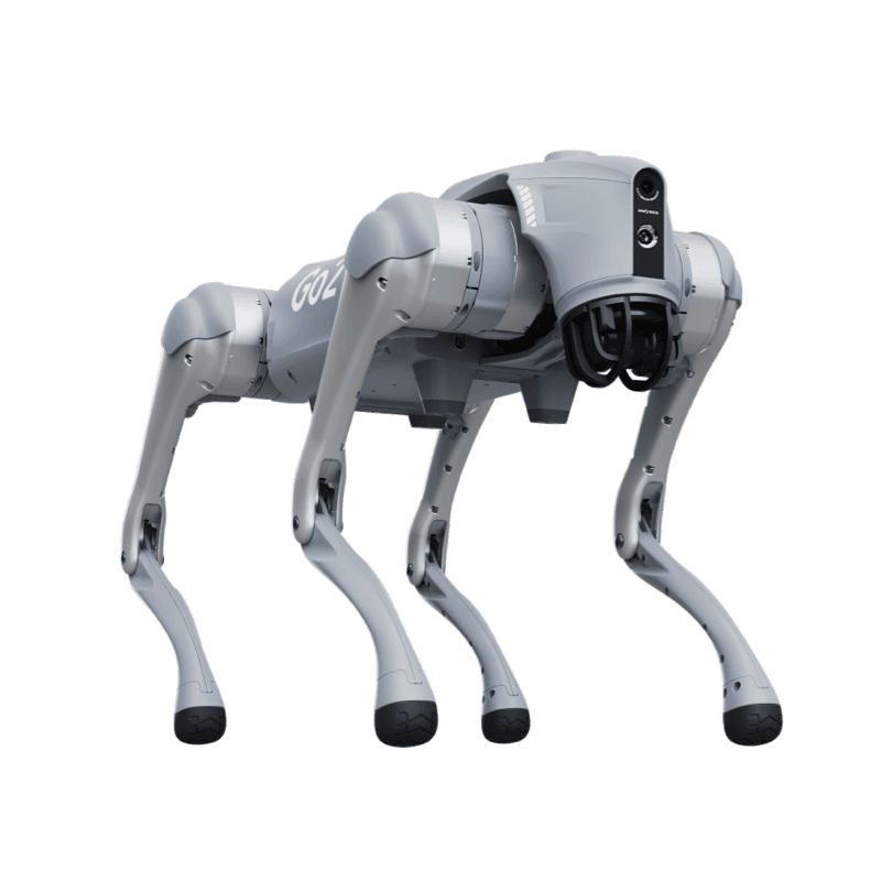
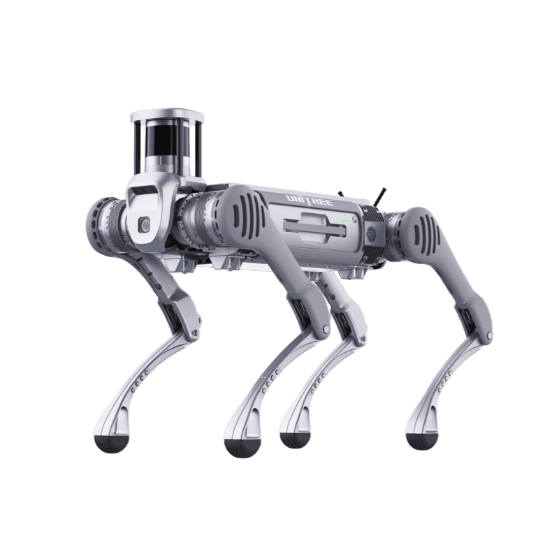
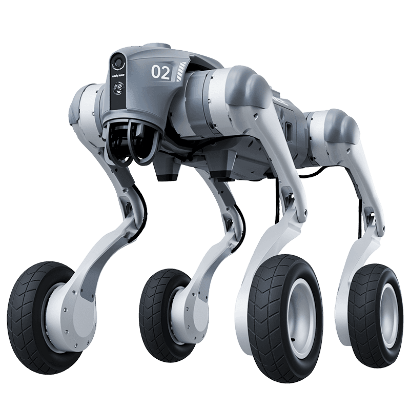
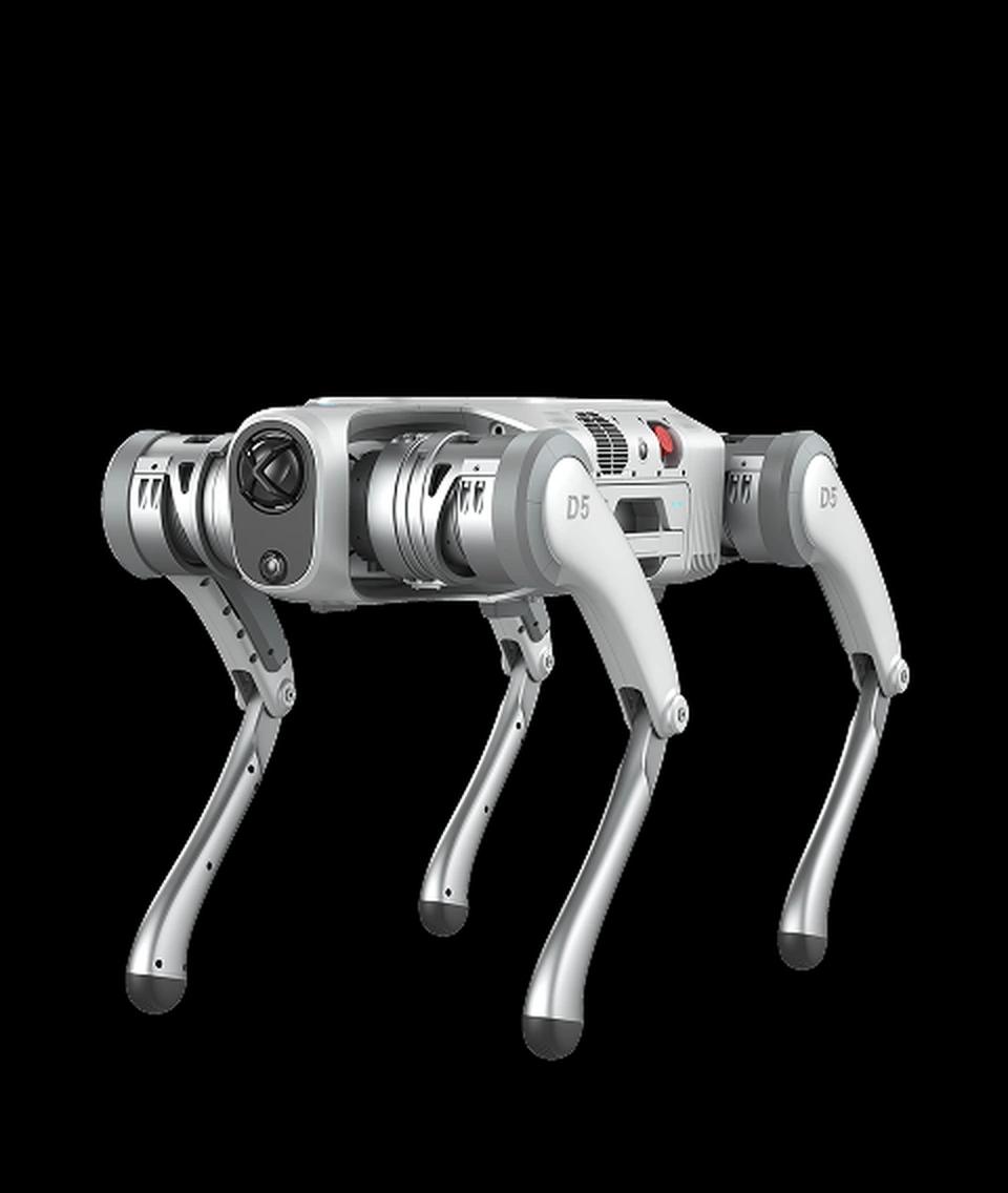
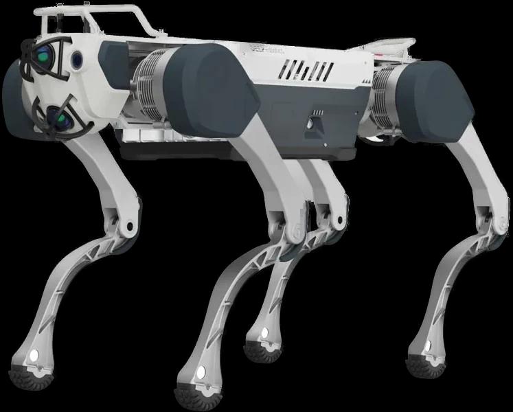
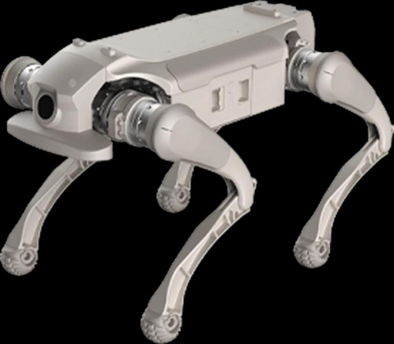
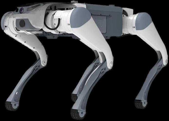
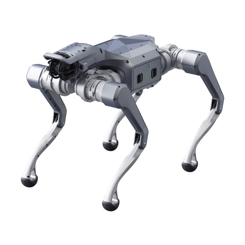
- Unitree A2
The problem addressed
Massive demolition costs caused by faulty manufacturing noticed late as construction progresses.
Draft mission flow
- 1The robot autonomously traverses construction site floors during the night shift and generates a 3D point cloud map.
- 2This up-to-date map is automatically overlaid with the actual BIM project (digital drawing) of the construction.
- 3Errors such as column deviations or incorrect wall constructions are detected and reported with millimetric precision.
Proposed hardware
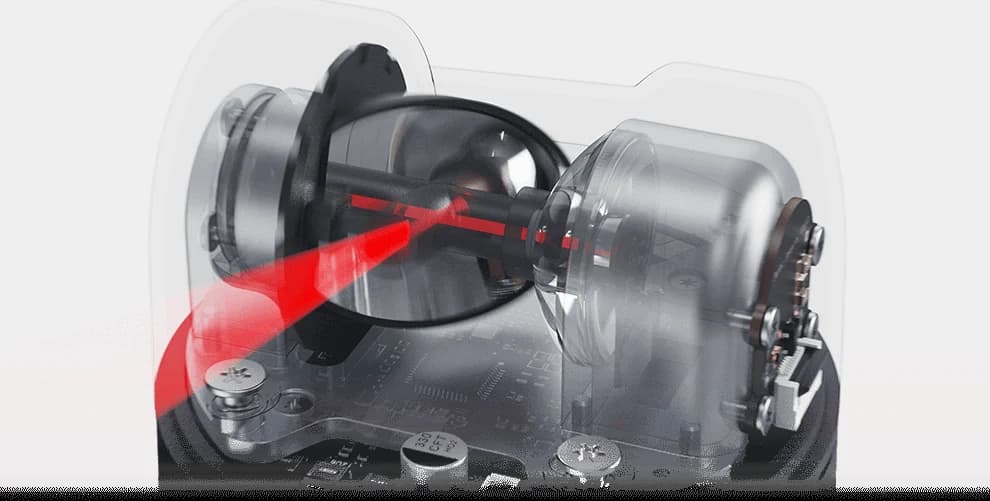
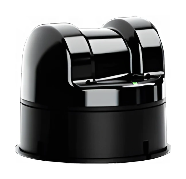
- 360 Degree Spherical 3D LiDAR
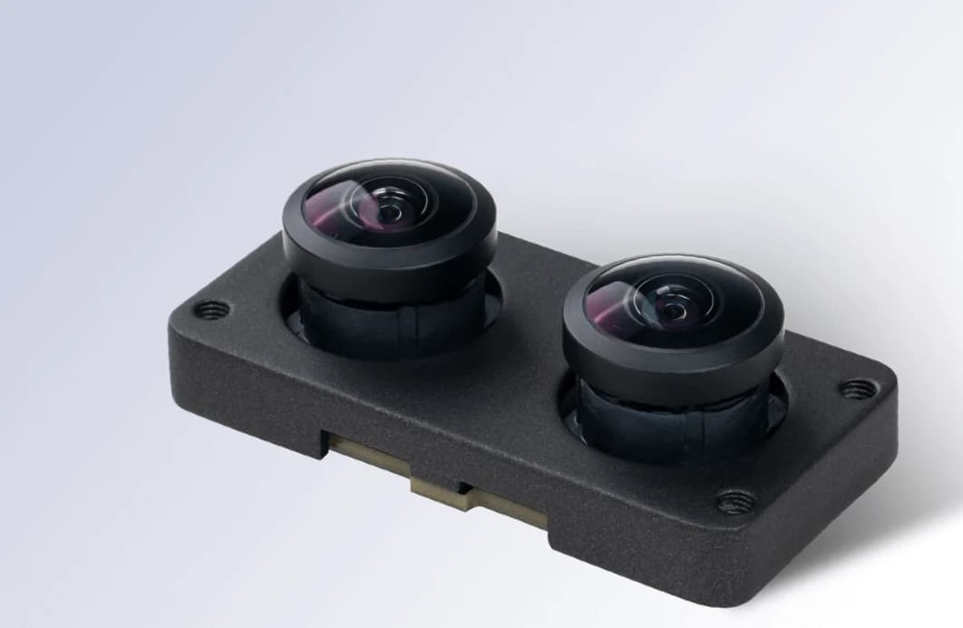
- RGB Depth Camera
- High Precision IMU
Proposed software
- Navigation
- Route planning integrated with BIM model (Building Information Modeling)
- Model
- Point Cloud Processing and Tolerance Error Detection
- Integration
- Autodesk Revit or Procore API Integration
The robot's real operating limits
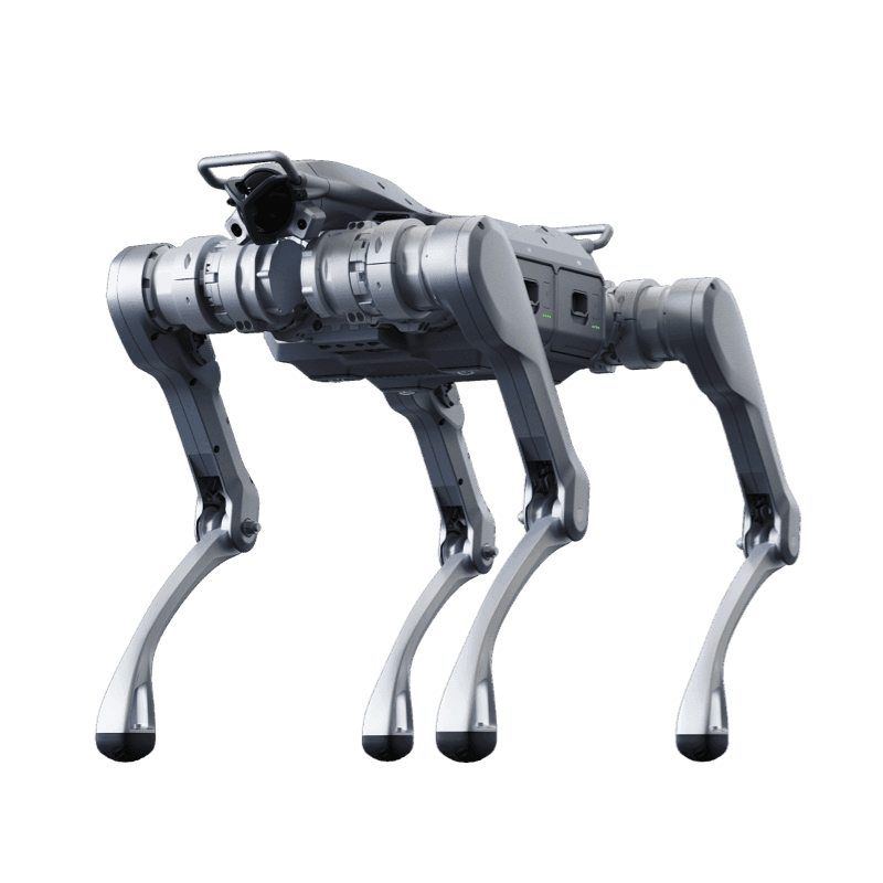
Unitree A2
Industrial Class Legged Robot
Product page- Ingress rating
- IP56-IP67
- Runtime
- >5 hours (No load) / >3 hours (25kg Load)
- Operating temperature
- -20°C to 55°C
- Payload
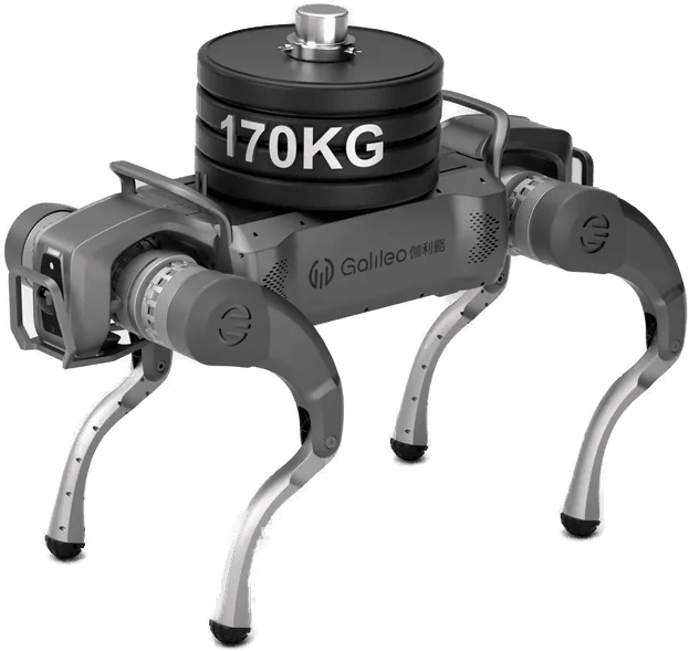
- 100 kg
- Max speed
- 5 m/s
- Climb
- 45°
Values are manufacturer data. Scenario fit is determined by comparing these limits with site conditions.
From scenario to installation
Feasibility is determined by the site survey: floor and route, network coverage, the charging point, intervention responsibilities and the conditions under which the robot must stop. The survey report defines the scope, the constraints and the commissioning steps.