
Deep-Sea Port Breakwater and Quay Erosion Detection
Scenario record: it defines the environment, the mission flow and a proposed hardware and software configuration. The list below is a configuration proposal, not an installation inventory. Field projects lists deployed systems and their measurements.
- Environment
- Outdoor field
- Operating mode
- Supervised autonomy
- Proposed robot
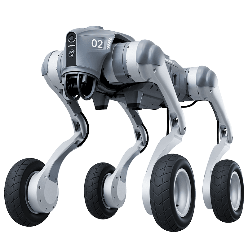
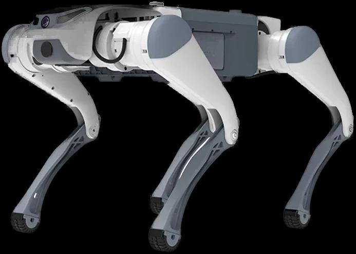
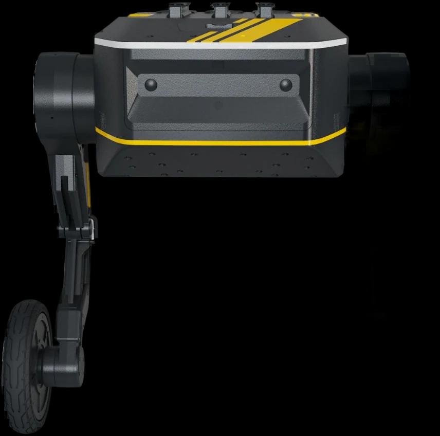
- Unitree B2-W
The problem addressed
The difficulty of inspecting saltwater decay in breakwater and pier concrete by human eye, without divers.
Draft mission flow
- 1Kıyı şeridi veya dalgakıran üzerindeki zorlu rotada fırtınalı günlerin ardından devriyeye çıkar.
- 2Beton rıhtımların deniz suyu ile hasar gören yüzeylerini tarayarak altı boşalmış çökmeye hazır zeminleri arar.
- 3Liman vinçlerinin veya vinç ayaklarının devrilme riski olan kısımları işaretler.
Proposed hardware
- Deniz Suyu Dayanımlı Lidar Seti
- Stereo Derinlik Kamerası
- RTK GPS Konumlandırma
Proposed software
- Navigation
- Düzensiz ve ıslak beton bloklar (Tetrapod) etrafında tekerlek + ayaklı hibrit geçiş (Rolling & Stepping)
- Model
- Beton Aşınma ve Yapısal Kayma Sınıflandırması
- Integration
- Liman Başkanlığı Coğrafi Bilgi Sistemi (GIS)
The robot's real operating limits
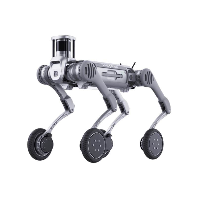
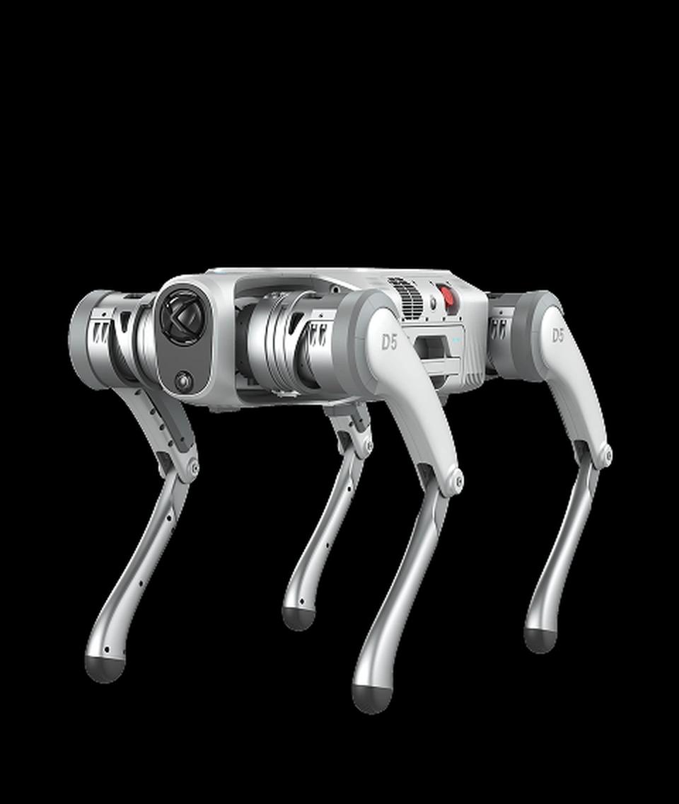
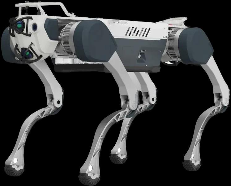
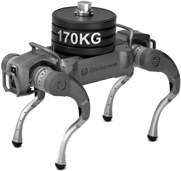
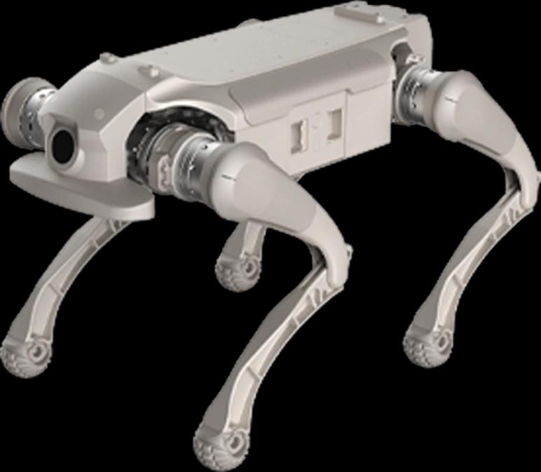
Unitree B2-W
Superior Endurance, High Logistics Efficiency
Product page- Ingress rating
- IP67
- Operating temperature
- -20°C to 55°C
- Payload
- 120 kg
- Max speed
- 15
- Climb
- 45°
- Weight
- 85 kg
Values are manufacturer data. Scenario fit is determined by comparing these limits with site conditions.
From scenario to installation
Feasibility is determined by the site survey: floor and route, network coverage, the charging point, intervention responsibilities and the conditions under which the robot must stop. The survey report defines the scope, the constraints and the commissioning steps.