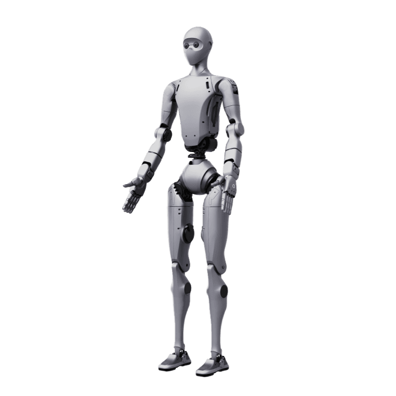



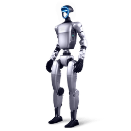
The Sensor Set: MID360 + D435i + IMU
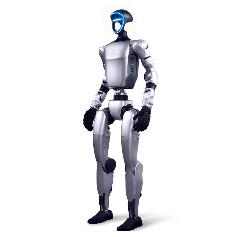
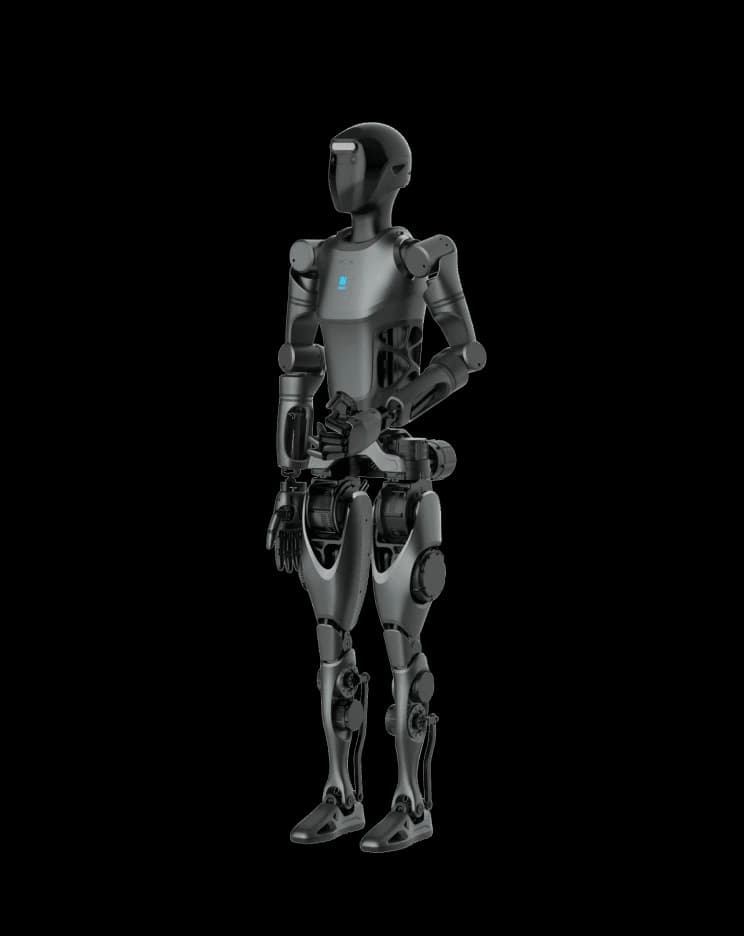
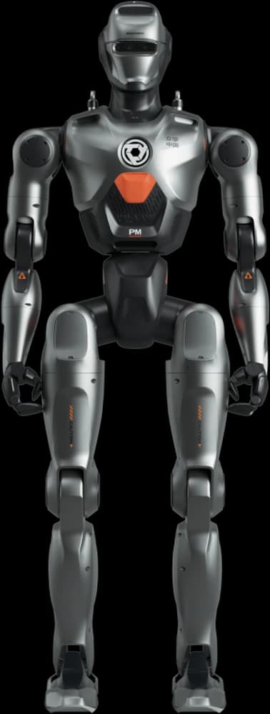
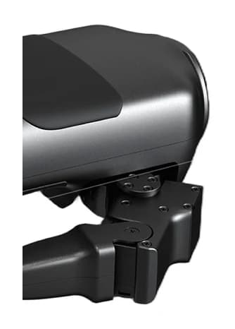
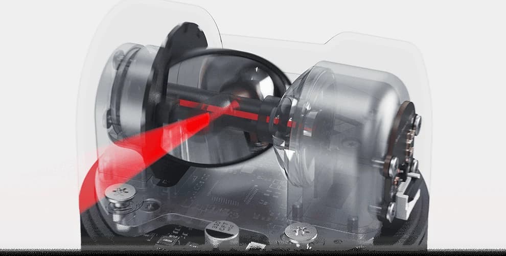
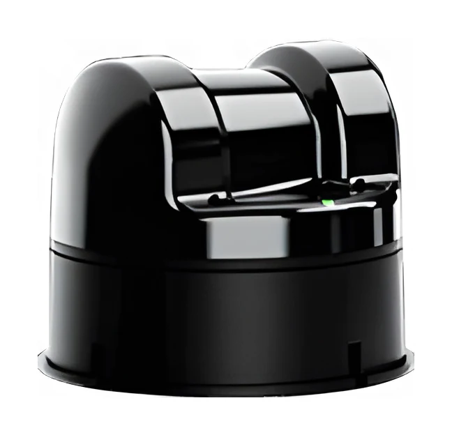
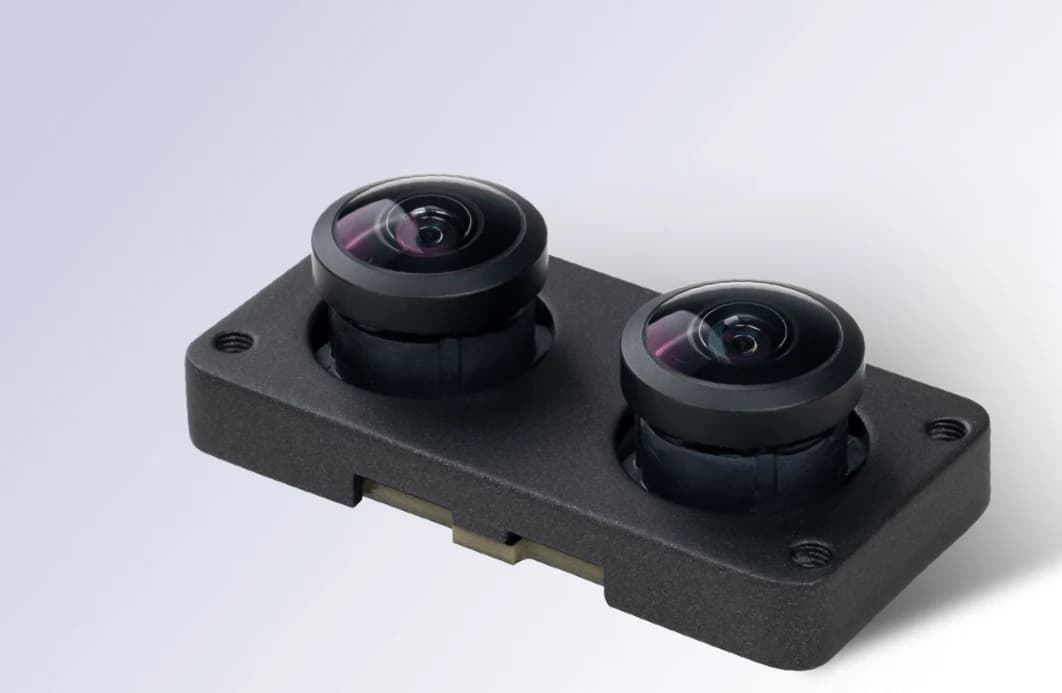
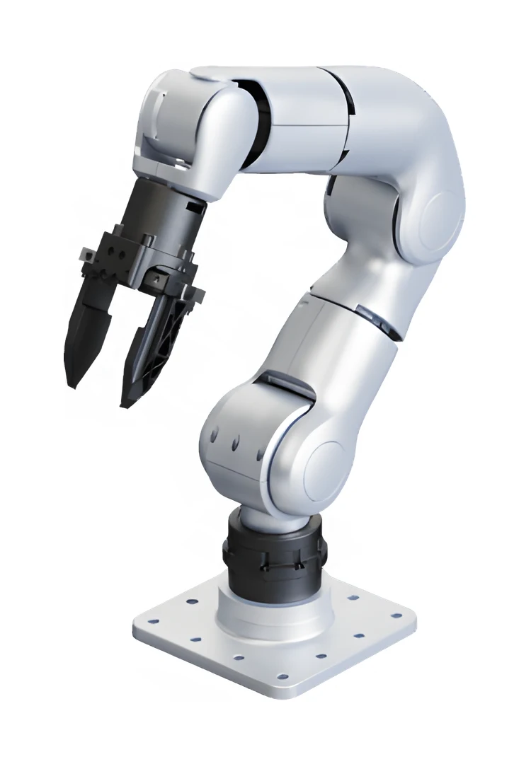
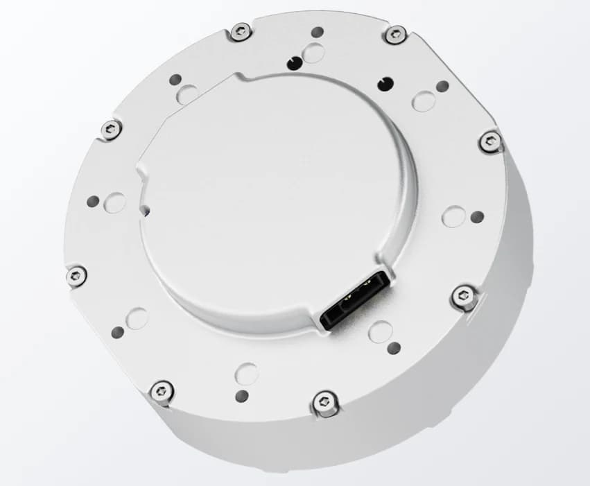
The LIVOX MID360, with its 360° horizontal field of view and built-in IMU, is a compact sensor designed for LiDAR-inertial odometry (LIO); it is integrated into the G1 EDU's torso. The D435i adds near-range depth and texture: it complements the cases where LiDAR is weak, such as glass, narrow passages and low obstacles. Joint encoders and the body IMU feed motion estimation together with foot contact phases.
Why SLAM Is Different on a Humanoid
Three differences versus wheeled and quadruped bases: 1) The torso sways with every step while walking, so sensor height and viewpoint change continuously. 2) Heel-strike impacts add high-frequency vibration to the IMU. 3) Turns can be fast and in place, so scan matching must work within narrow time windows. This is why tightly coupled LiDAR-inertial methods (FAST-LIO2, Point-LIO) are preferred over loosely coupled visual SLAM; both use the MID360's built-in IMU directly.
The Software Stack
Driver: livox_ros_driver2 (exposes point cloud + IMU as ROS2 topics). Odometry and map: FAST-LIO2, or Point-LIO for more robustness under aggressive motion; the output is real-time pose and a recorded point cloud (PCD). Navigation: global and local planning with Nav2 on a 2D occupancy map produced from the PCD. Command layer: the planner's velocity output is passed to unitree_sdk2's high-level locomotion client; balance and step generation stay in the robot's own controller. The full repo links are in the G1 GitHub repository map.
From Mapping to Autonomous Walking: The Sequence
1) Install livox_ros_driver2 and verify the point cloud, 2) A hand-guided mapping tour with FAST-LIO2/Point-LIO, 3) Record the PCD and convert it to an occupancy map, 4) Set up Nav2: tune footprint, velocity and acceleration limits for the G1, 5) Send goals and wire velocity commands to the SDK locomotion client, 6) Tight-space tests: door passage, corridor turns, low obstacles. ROS2 setup details are in the ROS2 integration guide.
Validation in Simulation
The same pipeline is tested without touching the physical robot: g1_description (URDF/MJCF) from unitree_ros goes into MuJoCo, the USD body from unitree_model goes into Isaac Sim; SLAM and Nav2 parameters are swept safely with a virtual LiDAR. Once the parameter set settles in simulation, it is carried to the real robot.
Division of Labor with the Go2/B2 Side
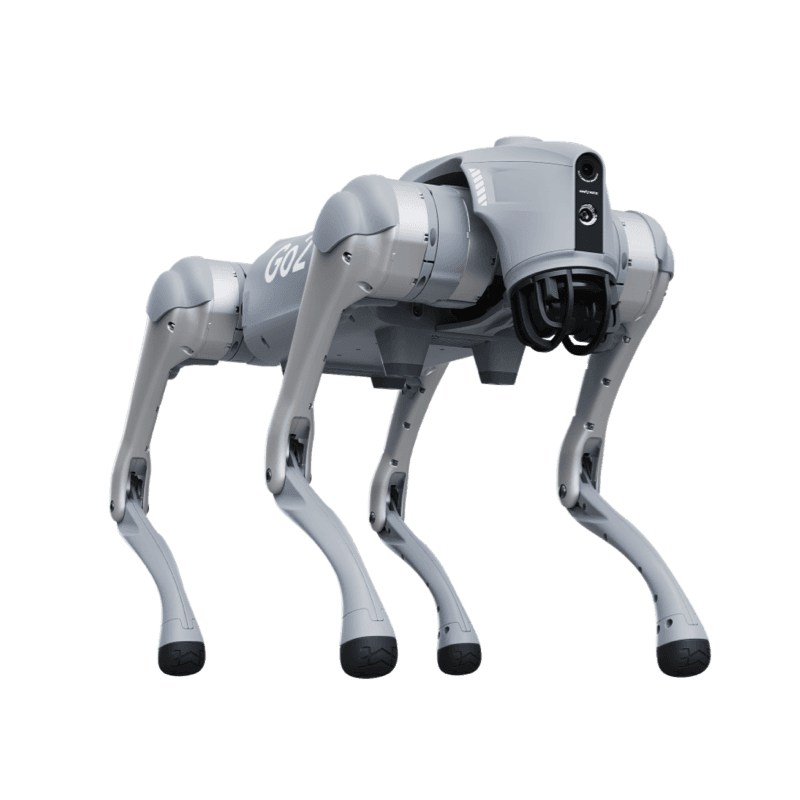
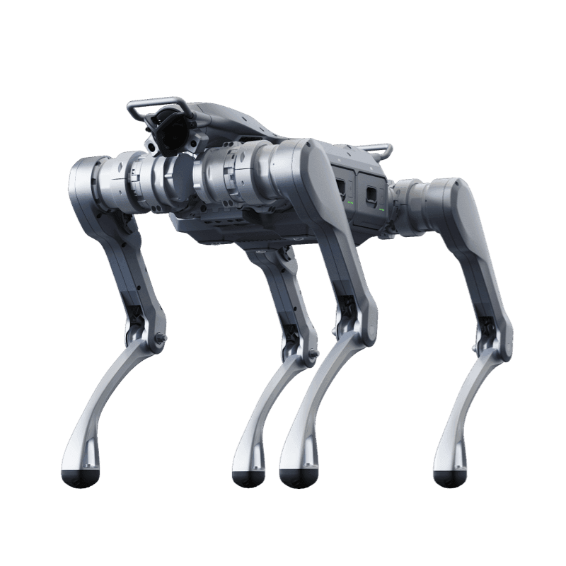
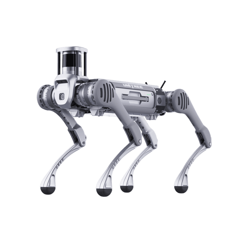
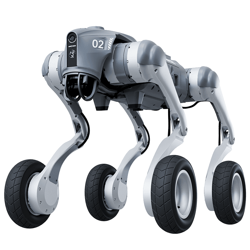
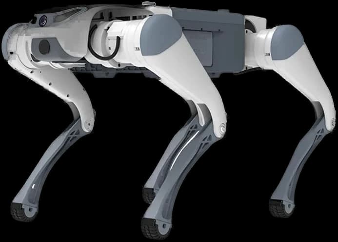
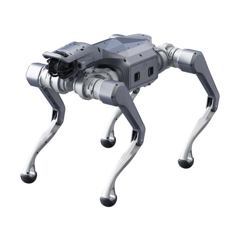
For production tasks such as inspection and patrol, map, route and mission management are offered as a finished product on the quadrupeds: the setup screens and topological route logic are on the industrial navigation page, and multi-floor and elevator scenarios are in the SLAM demos. The G1 side is a research stack today: its goal is humanoid navigation research and custom application development, not productized patrol.
Deployment and Support in Turkey
We provide end-to-end support for G1 EDU procurement, sensor configuration, SLAM stack setup and team training. Hardware options are on the G1 product page, research packages on the G1 research platform; use the contact form for project planning.